


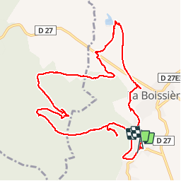

9.5 km | 12 km-effort

User


FREE GPS app for hiking
 SityTrail
IGN / Geographical institutes
SityTrail World
The world is yours!
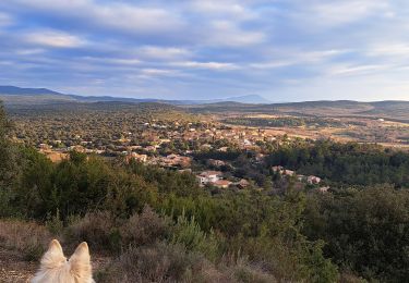
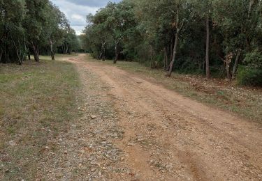
Trail Walking of 12.7 km to be discovered at Occitania, Hérault, La Boissière. This trail is proposed by vasta.
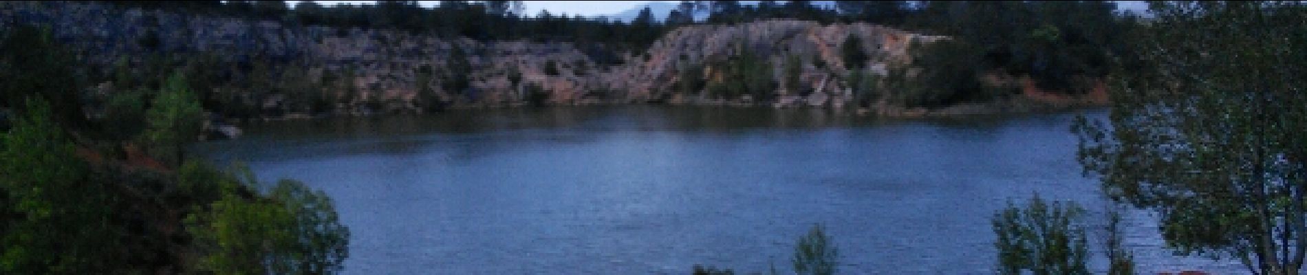
sommet du Puech Bartelié,ermitage de valcroze, lac de la boissiere, chemin d'Arles ancien tracé de la voie ferrée Montpellier Aniane Lodève (intérêt local) .


Walking

Walking
Walking
Nordic walking
Nordic walking
Walking
Walking
Walking
Walking
Belle ballade